Our Expert Services
Delivering excellence and innovation in every project.
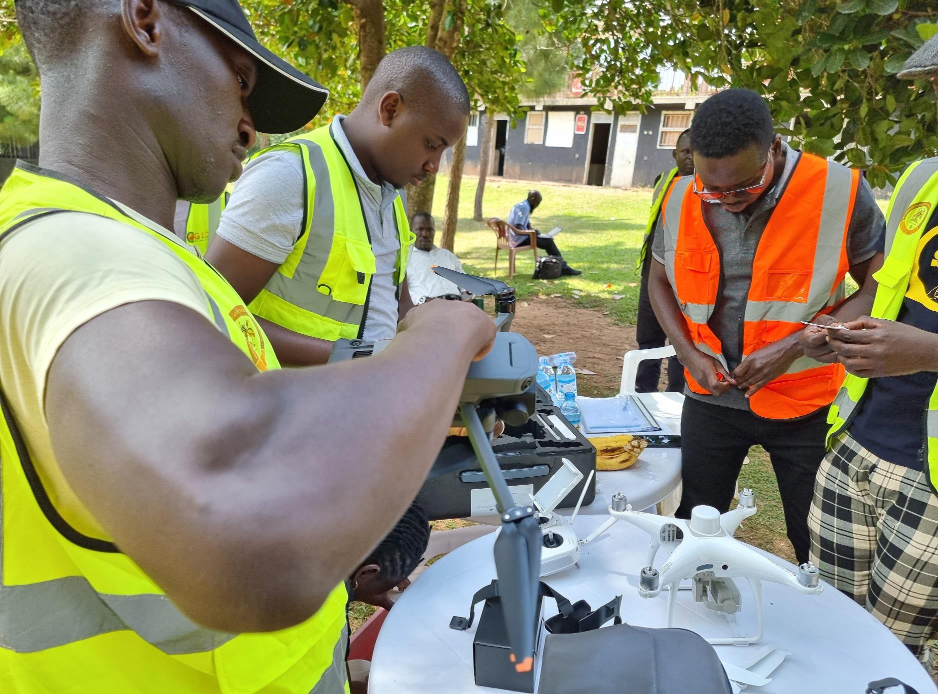
Drone Training
Professional drone training and certification for individuals and organizations. Our comprehensive program covers:
- Drone Operation & Maintenance
- Data Processing & Analysis
- Certification & Compliance
- Advanced Flight Techniques
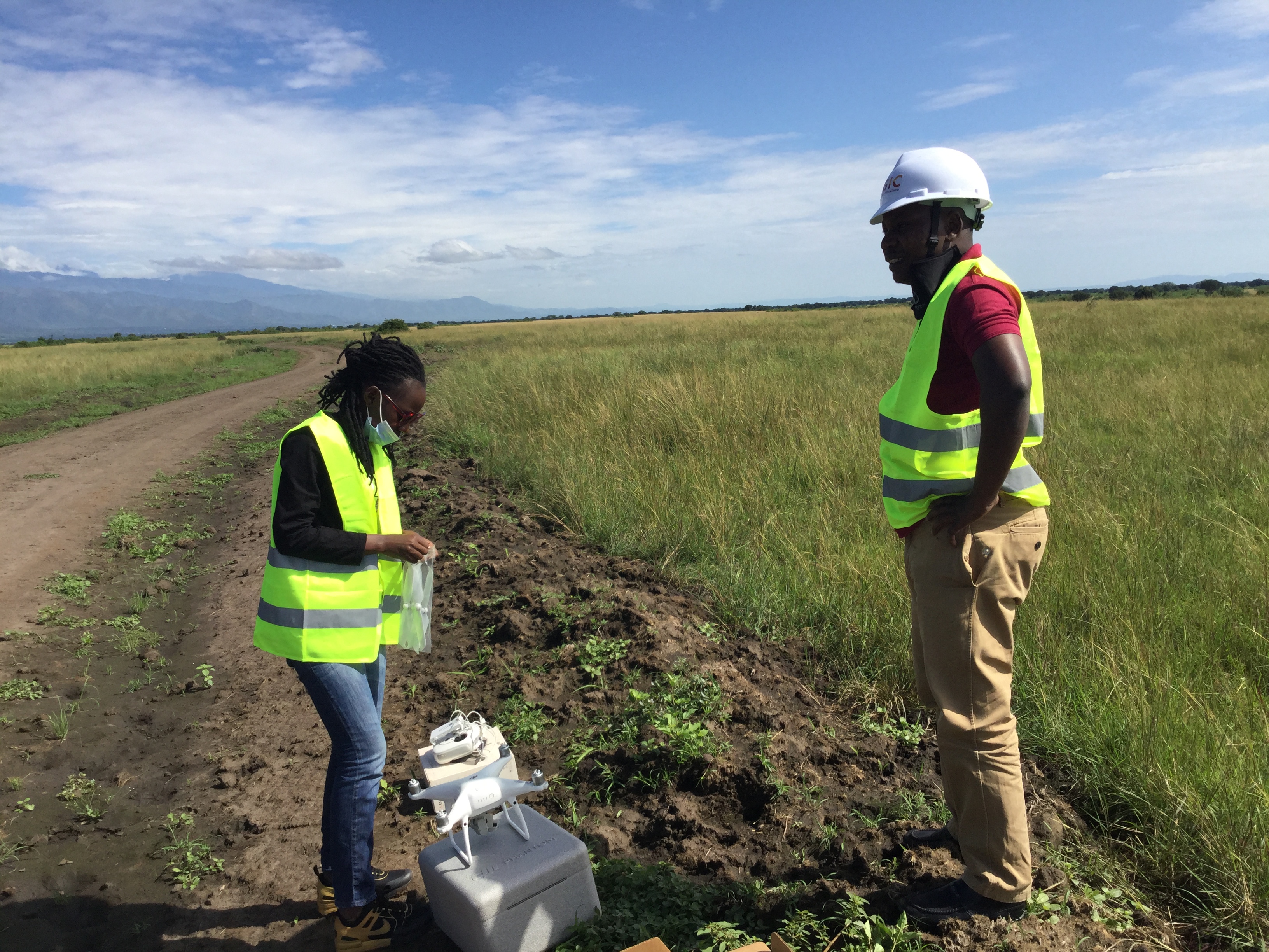
Drone Mapping & Surveys
Professional drone surveys and mapping for governement and individuals and organizations. Our comprehensive program covers:
- Drone Surveying
- Drone Mapping
- Aerial Photography
- Aerial Survelliance

Land Surveying
Utilizing advanced technology for precise land surveying services tailored to your project's needs. Our expertise includes:
- Engineering & Topographic Surveys
- Construction & Drone Surveys
- Boundary & Cadastral Surveys
- Precise Levelling
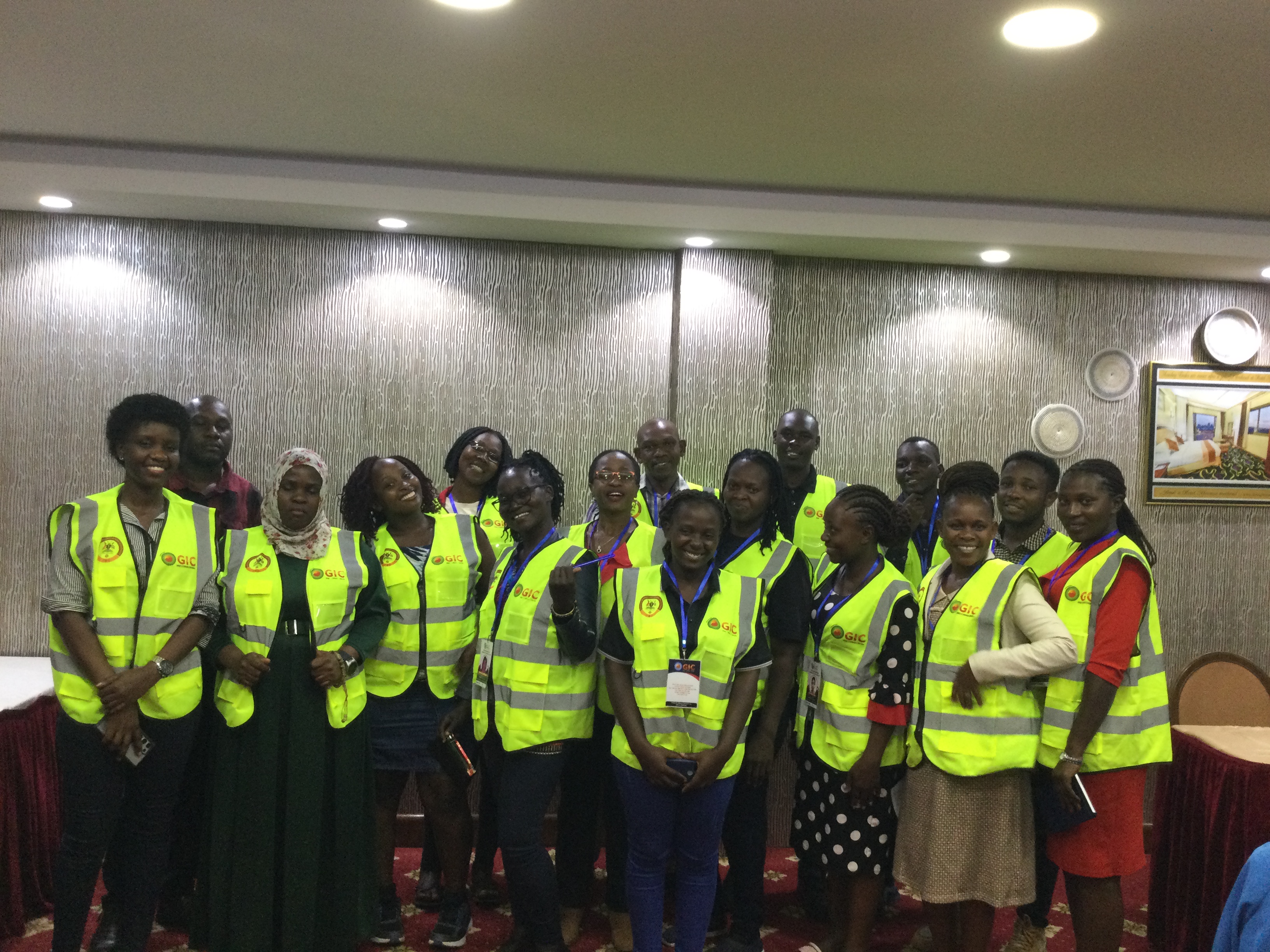
GIS-based Baseline Studies
Comprehensive GIS-based approaches for institutions to establish critical baseline data. We offer:
- Key Indicator Identification
- Spatial Data Collection & Processing
- Advanced Data Analysis & Reporting
- Impact Assessment Support
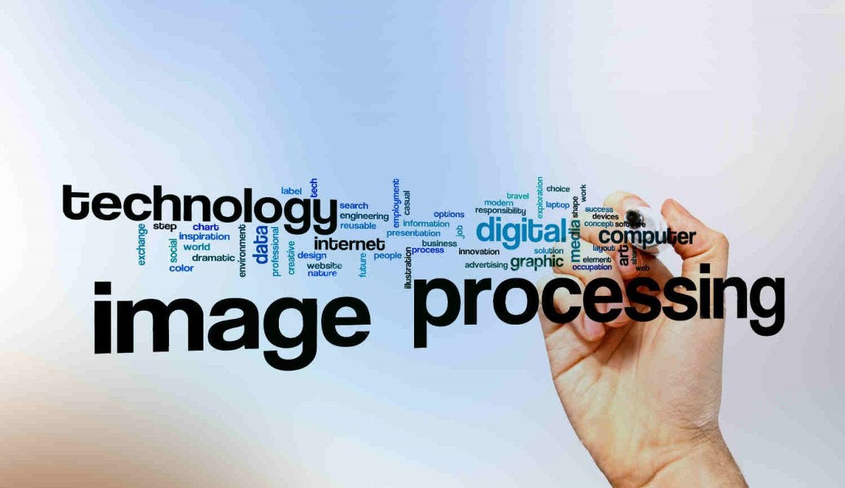
Bulk Image Processing
Efficient bulk image processing services using state-of-the-art technology and software for various applications.
- Aerial & Satellite Imagery
- Orthorectification & Mosaicking
- Feature Extraction

GIS Consultancy Services
Expert consultancy for geospatial implementation, training, project management, and strategic planning.
- Geospatial Strategy
- Workflow Optimization
- Capacity Building
Esri Products
GIC in partnership with Esri East Africa under the Esri Partner Network. We offer Esri products and services to our clients.
Read More
Optron Products
GIC in partnership with Optron under the Optron Partner Network. We offer Optron products and services to our clients.
Read More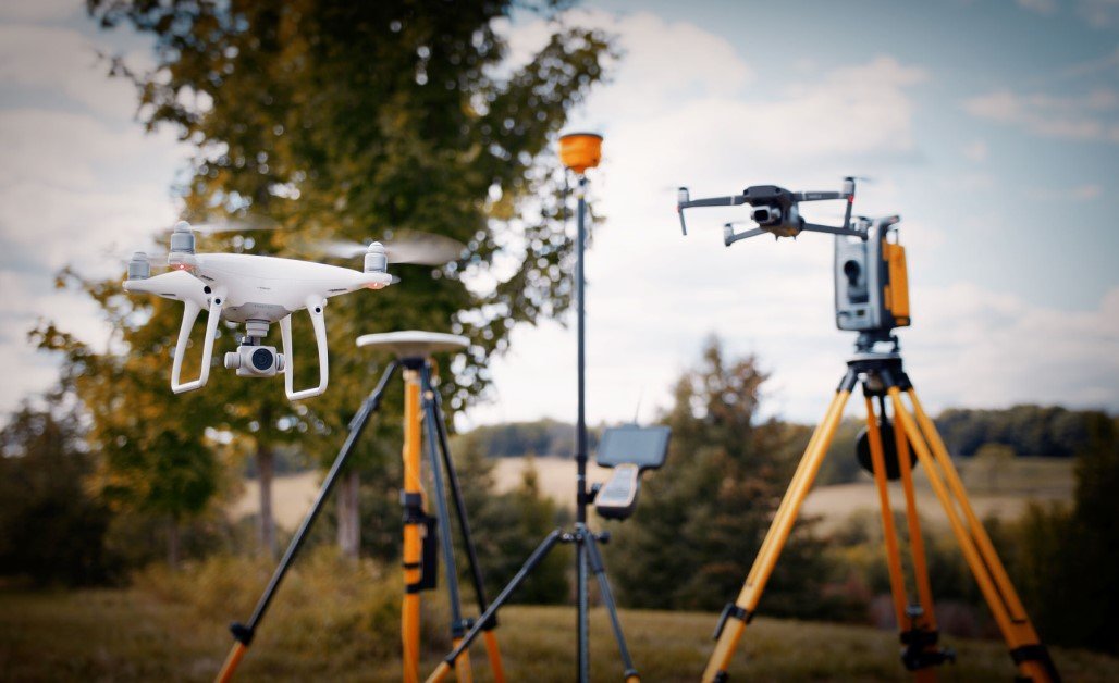
Hardware Products
GIC offers a wide range of hradware prodcuts from GNSS recievers to drones and surveying equipment. We also offer software solutions for data processing and analysis.
Read More
Training Services
GIC offers a wide range of training services for GIS, drone, and surveying. We also offer training for Esri products and Optron products.
Read More