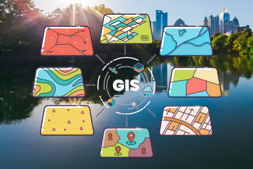
GIS Fundamentals Course
Comprehensive Geographic Information Systems fundamentals covering ArcGIS Pro, spatial analysis, and data management.
Course Modules:
- Introduction to GIS
- Spatial Analysis & Modeling
- Regression & Hotspot Analysis
- Surface & Hydrological Modeling
- Suitability Analysis
- Enterprise GIS & ArcGIS Server

GIS Specialized Course
Advanced GIS applications for specific industries including environmental monitoring, disaster management, and precision agriculture.
Specializations:
- Environmental Monitoring & Management
- Disaster Risk Management
- Oil Exploration & Production
- Water Quality Monitoring
- Precision Agriculture
- Geo-Ethics

Remote Sensing Course
Remote sensing techniques for earth observation, vegetation analysis, and hydrological modeling using satellite imagery.
Course Modules:
- Introduction to Remote Sensing
- Image Classification Methods
- Hydrological Modeling
- Watershed Delineation
- Vegetation Analysis
- Surface Modeling

Esri ArcGIS Pro Training
Advanced training in Esri's flagship desktop GIS application, covering professional mapping, analysis, and data management workflows.
Training Modules:
- ArcGIS Pro Interface & Navigation
- Advanced Cartography & Symbology
- 3D Analysis & Visualization
- Geoprocessing & Model Builder
- Python Scripting for GIS
- Professional Certification Prep
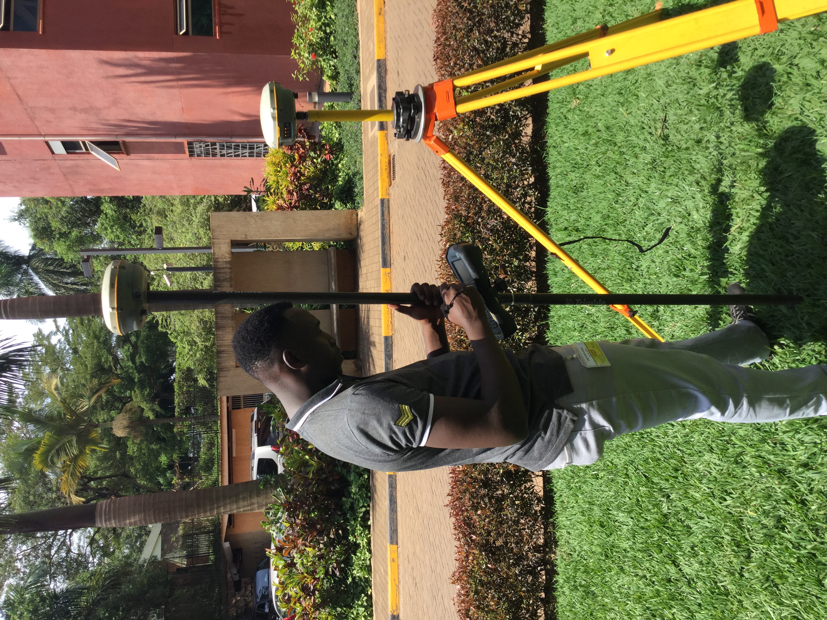
Survey Equipment Training
Hands-on training with professional surveying equipment including GNSS systems, total stations, and digital levels.
Equipment Training:
- Digital Levels Training
- GNSS Surveying Systems
- Total Stations Training
- Handheld GPS Receivers
- Data Collectors & Processing
- Surveying Accessories
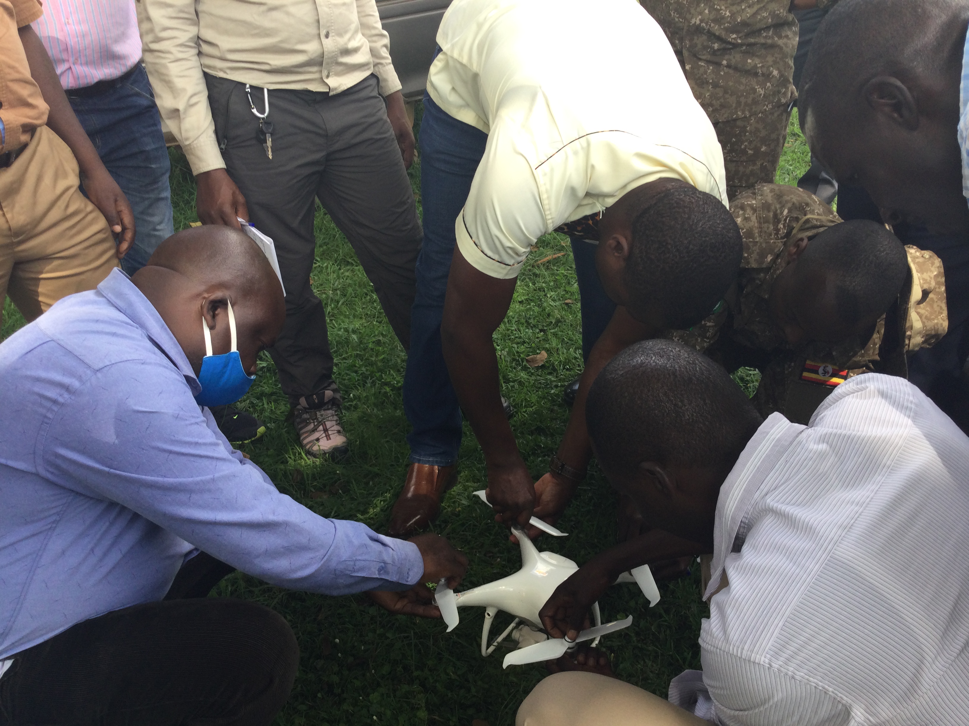
Drone Technology Training
Professional drone operation and aerial surveying training for mapping, inspection, and data collection applications.
Training Modules:
- Drone Operation & Safety
- Aerial Photography & Mapping
- Flight Planning Software
- Data Processing & Analysis
- Photogrammetry & 3D Modeling
- Certification Preparation