Ministry of Energy & Mineral Developent
Consultancy Services for Comprehensive GIS Data Collection for 12 months - Ongoing.

Deposit Protection Fund Uganda
Provision of Consultancy Services for Baseline Survey - July 2024
.webp)
Rural Electrification Agency
Consultancy Services for Data Cleaning - April 2022

The Rural Electrification Board
GIS Data Capture for electricity distribution grid technical parameter and customer connections- 2018.
Child Fund International Uganda
Consultancy; collect, interprete, analyze and present geographic information for qualitative study- 2016.

Infectious Disease Institute- Mulago
External review of a mapping report - 2007

Worlwide Fund for Nature
Development of a Database for Sensitvity to Oil Spills in the Albertine graben - 2008
Ministry of Agriculture, Animal Industry and Fisheries
Design & Development of a agricultural Geoportal for MAAIF - September 2018

Uganda Wildlife Authority
Integrating Aerial Mapping and GIS:
To carryout drone survyes in designated areas supported by UWA
To carryout land cover and land use mapping for invasive - 2021
China National Offshore Oil Corporation (CNOOC) Uganda
Titling the land acquired at Buhuka parish in Kikuube district for the Kingfisher Development Project- 2021

National Water & Sewerage Corporation
Consultancy services fo the production of JLOS Mapping using Geographic Information System- 2012

Justice, Law & Order Sector - Ministry of Justice & Constitutional Affairs
Consultancy, Software & Hardware - 2012
Kampala Capital City Authority (KCCA)
Supply of AutoCAD Software - 2021.
Uganda National Roads Auhtority (UNRA)
Supply and Delivery of Survey Equipment for Kitala-Gerenga Road Project (Total Station & Digital Level) - 2020.
SBI International Holdings AG
Repair of surey equipment - 2021

National Environment Management Authority (NEMA)
Supply of Drones, Compatible IPADs, Floating Pix4d Drone Image Processing Software & Extra batteries - 2020.

Standard Guage Railway (SGR)
Supply of complete set land survey equipment for the SGR - 2017

Makerere University
Supply of ArcGIS 9.3 Master Lab Kit & Licenses - 2009
Uganda Bureau of Statistics (UBOS)
Renewal of ArcGIS Online System Maintenance - 2018

MTN Uganda
Supply of ArcInfo & ArcSDE Software - 2006
International Organization for Migration (IOM)
Supply of ArcGIS 9.2 & Training of staff of 6 staff - 2008
United Nations Development Programme (UNDP)
Supply of ArcView 9.2 & ERDAS Imagine - 2008
.jpg)
Umeme Uganda Ltd
Supply of GPS Mappers (Trimble TDC 100 4G) - 2020
National Social Security Fund (NSSF)
ArcGIS Training of staff - 2020

Uganda Communication Commission (UCC)
Provision of Training Services - 2018
United Nations - OCHA
Training of staff in ArcGIS 1 & 2 - 2008

GIZ (Deutsche Gesellschaft für Internationale Zusammenarbeit)
ArcGIS & ArcPAD training - 2018

District Local Government
Customized Training - 2014
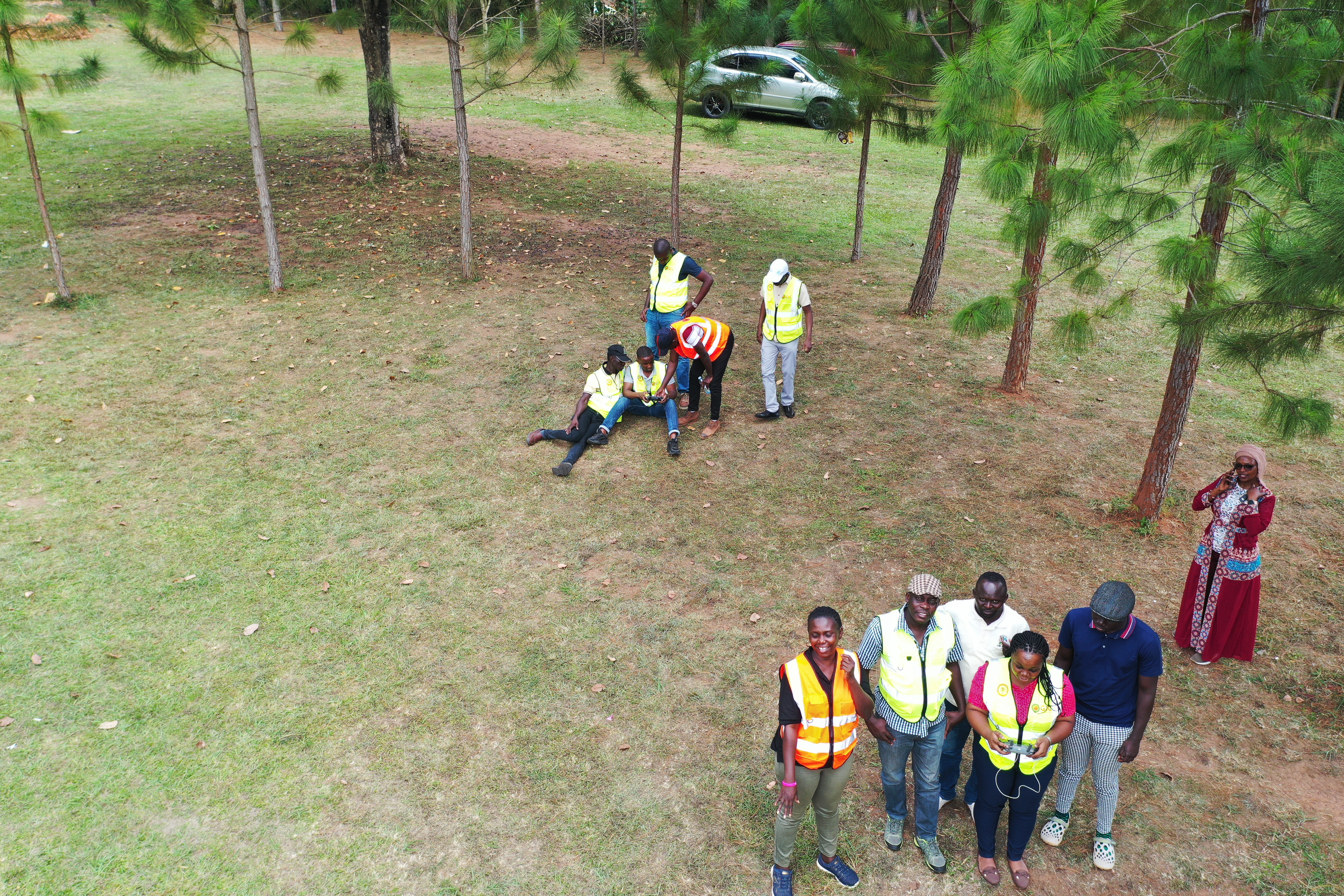
Office of The Prime Minister (DRDIP)
Drone Training - 2023
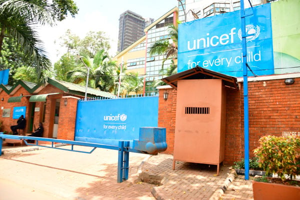
UNICEF Kampala Country Office
Training of Water Officers of Katakwi and Amuria districts in the Use of ArcGIS - Dec 2006
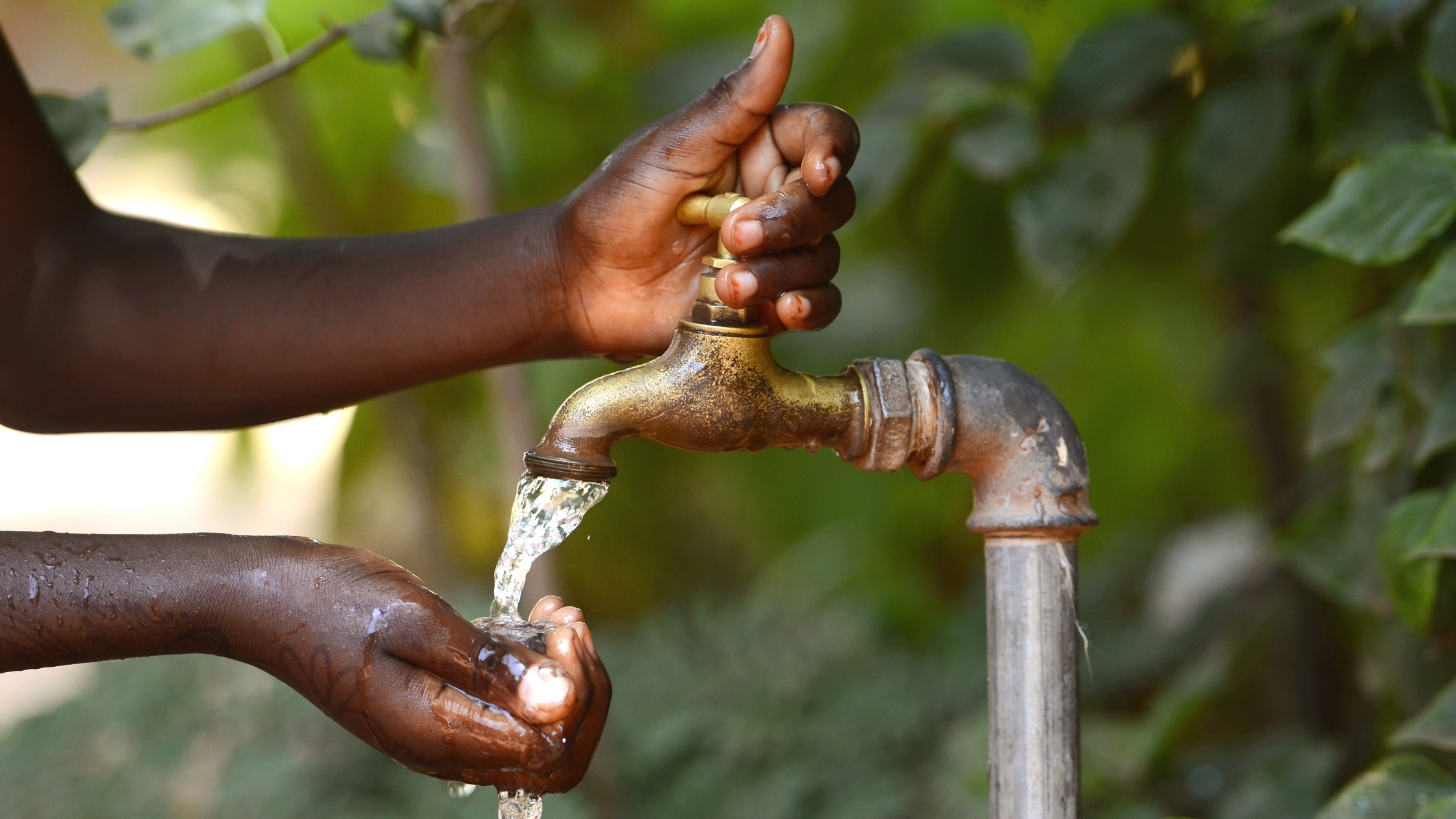
Directorate of Water Development
Training of Water Officers (Districts of Bugiri, Tororo, Lira, Masindi, Sembabule and Kasese) in the Use of ArcGIS - August 2006

World Wildlife for Nature (WWF) Uganda
Training of Staff of Lake Albert Eastern Catchment Initiative Project (LAECIP) and Rwenzori Mountains Conservation and Environment Management Project (RMCEMP) - Nov 2004
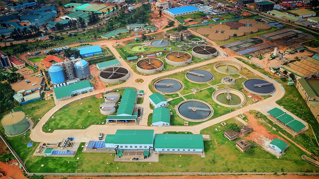
NWSC Satellite Imagery
Provided high-resolution satellite imagery for Water Catchment Management Projects for the years 2014, 2015, 2016 & 2017.

Uganda Civil Aviation Authority
Provision of high-resolution satellite imagery - June 2014.
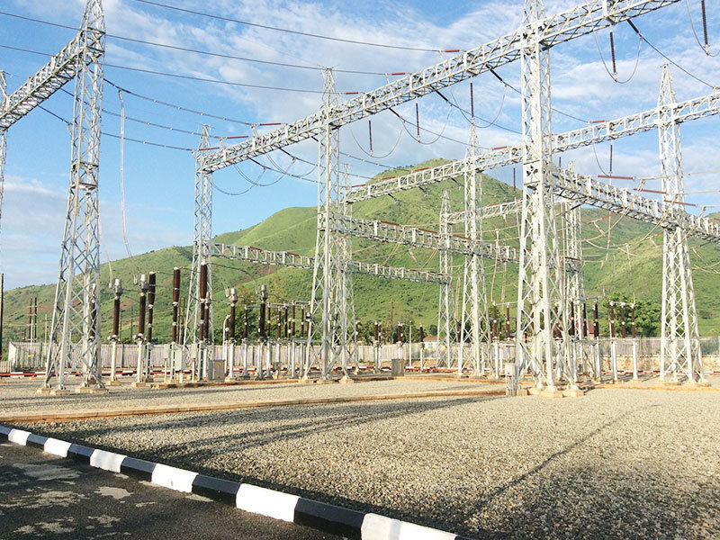
Uganda Electricity Transmission Corporation
Provision of high-resolution satellite imagery - May 2021.
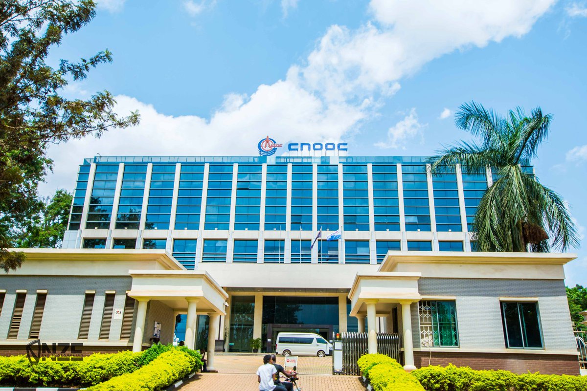
China National Offshore Oil Corporation (CNOOC) Uganda
Satellite Imagery acquisition, processing and training of the staff in Remote Sensing (ENVI) - Feb 2013
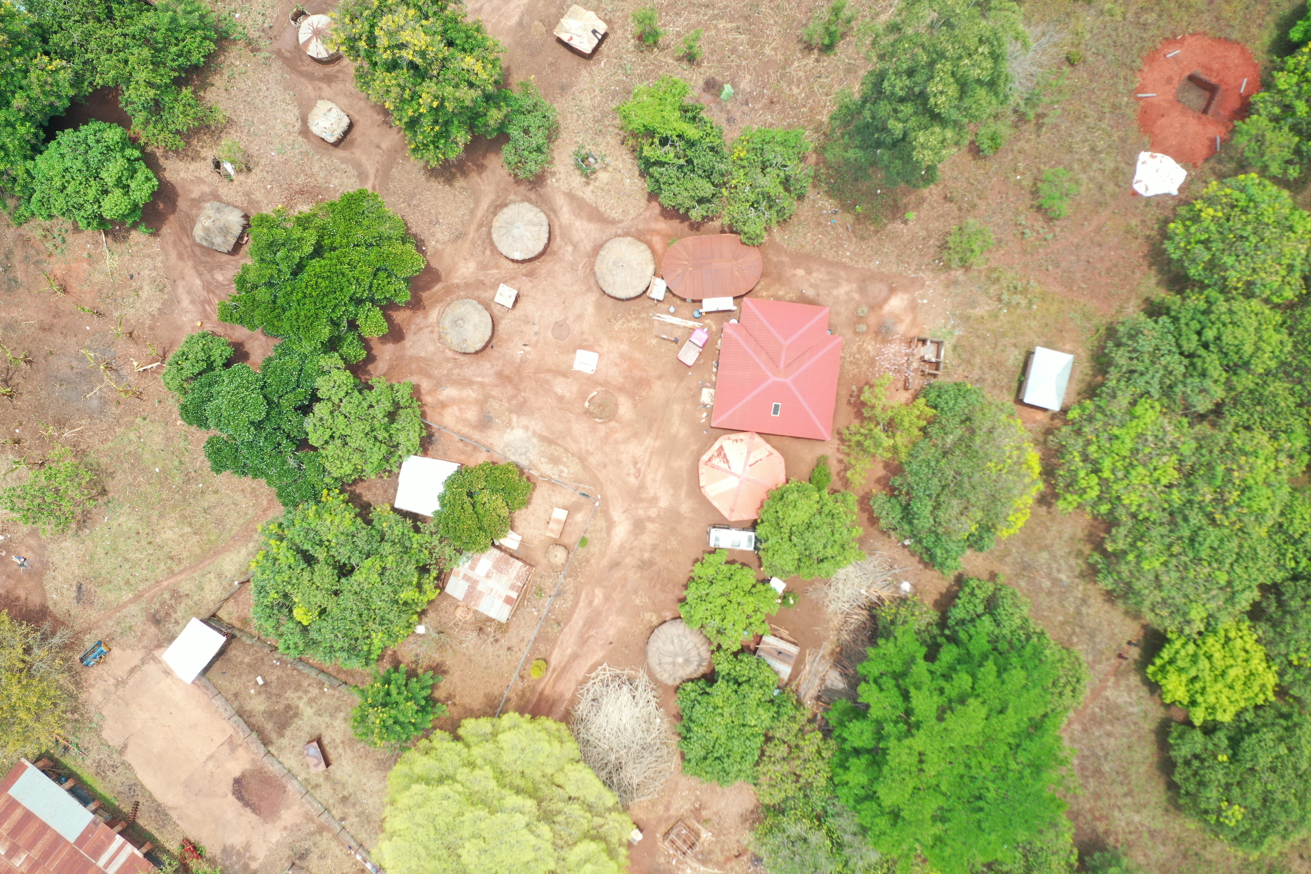
Drone Mapping of Ranch 18, Bweyale Kiryandongo
Detailed mapping of Ranch infrastructure for land use planning - March 2025.
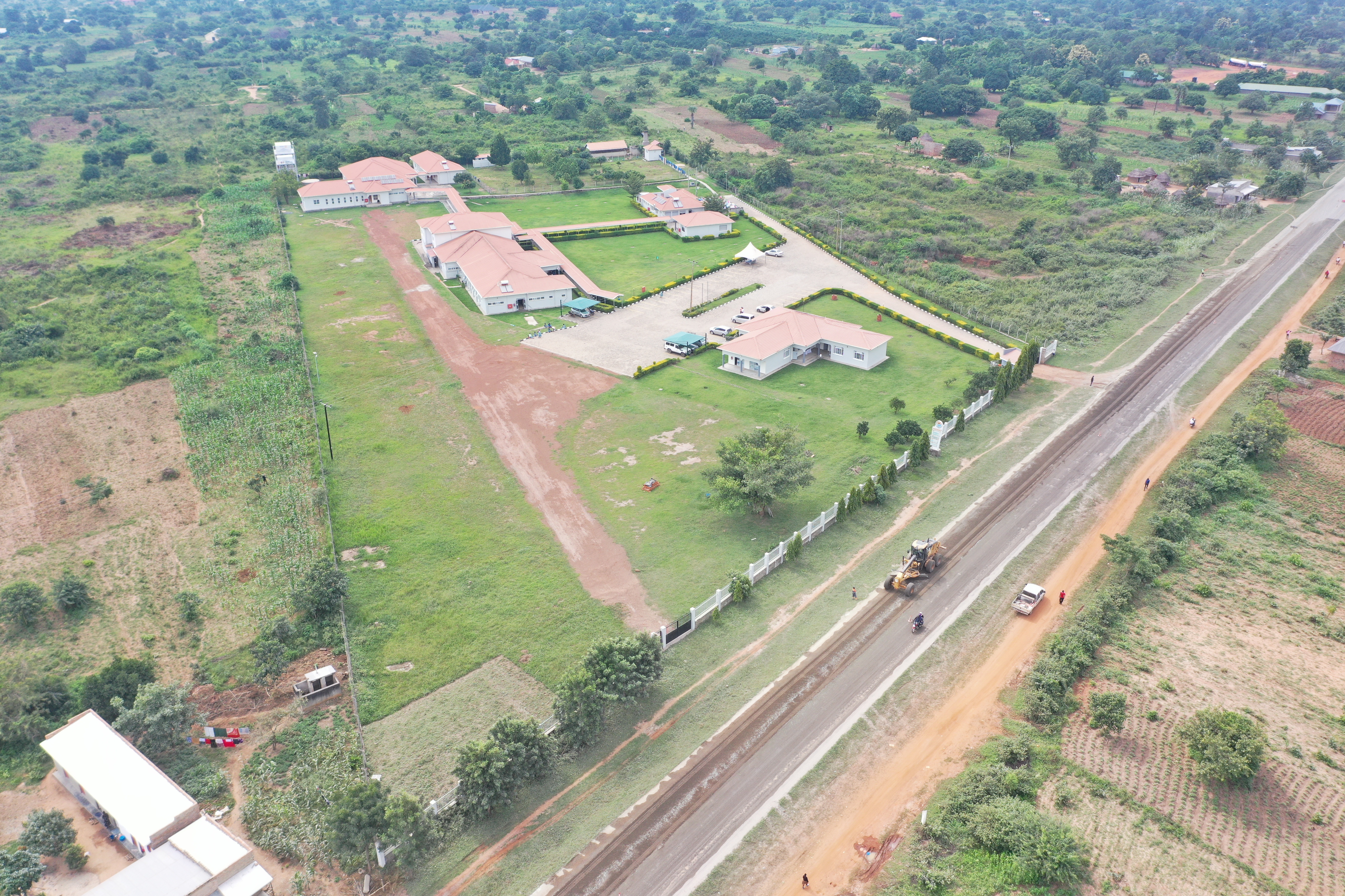
Drone Mapping of Terrewode, Soroti
Detailed mapping of Terrewode Women's Community Hospital & Cadastral Survey of the plots - June 2025
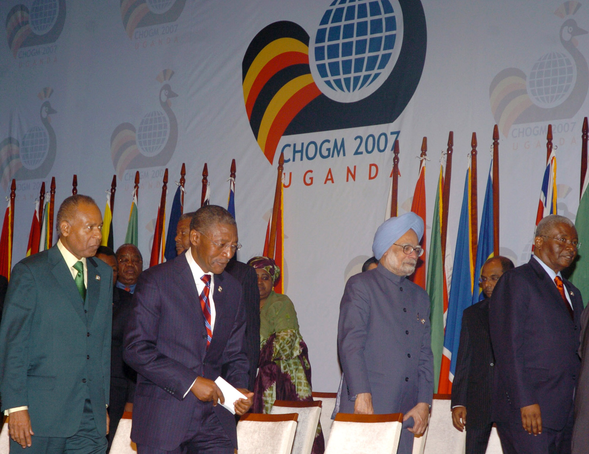
Ministry of Internal Affairs, CHOGM
Mapping of selected areas in and around Kampala and Entebbe - Feb 2007
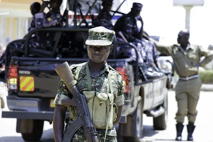
Uganda Police Force Procurement Unit
Preparation of base maps for the Commonwealth Heads of Governemnt Meeting (CHOGM) Security Secretariat-2007

World Wildlife Fund for Nature (WWF) Uganda
Mapping of 14 Sub-County and 64 Parishes in the Districts of Kasese, Bundibugyo and Kabarole - April 2006

Air Water Earth Ltd (AWE)
Mapping of Nakivubo Drainage Channel for Environmental Impact Assessment - November 2005.
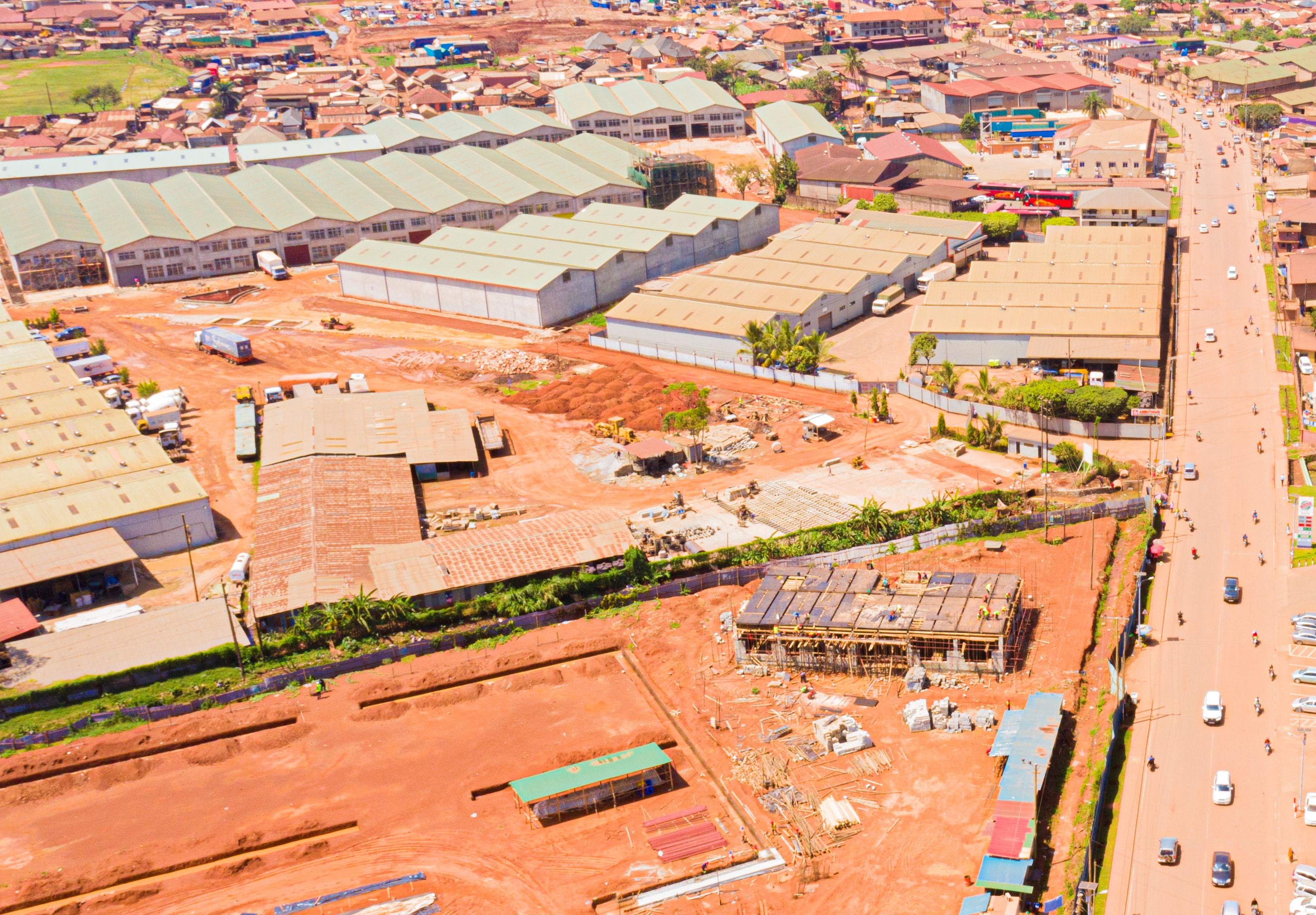
Air Water Earth Ltd (AWE)
Mapping of Nalukolongo Industrial Site Drainage Channel for Environmental Impact Assessment - June 2005.
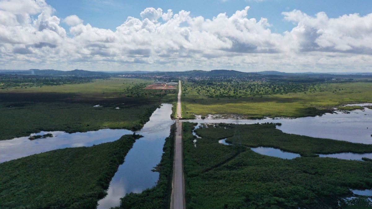
Sustainable Development Centre
Mapping of Katonga River Basin - June 2005.
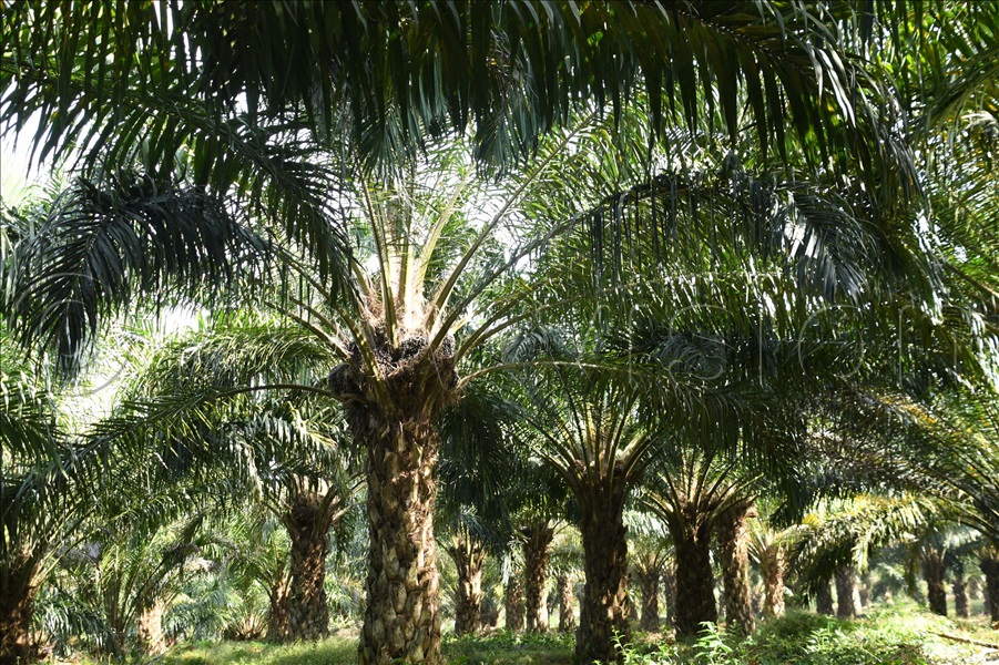
Vegetable Oil Development Project
Mapping of Kalangala Project Area - July 2005.