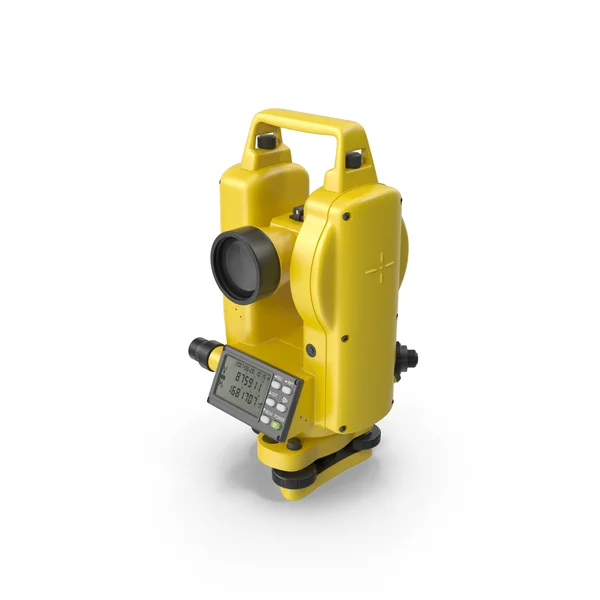
GIC provides you with digital levels for surveying and construction projects for data collection straight to your computer for different features and records. Surveyors and engineers are provided with high tech digital levels for all your needs.
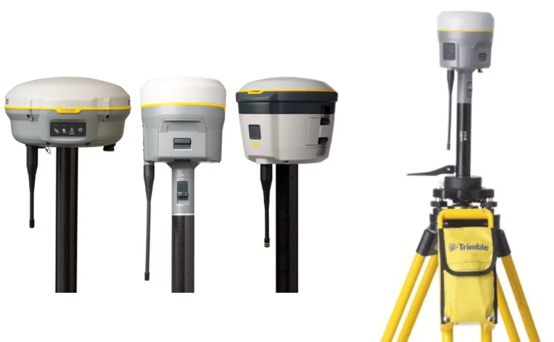
GNSS solutions and systems designed with the surveyor in mind. Backed by a legacy of GNSS technology leadership and surveying expertise, GIC provides surveyors and GIS professionals with reliable, innovative GNSS survey solutions from Optron that meet their distinct requirements.
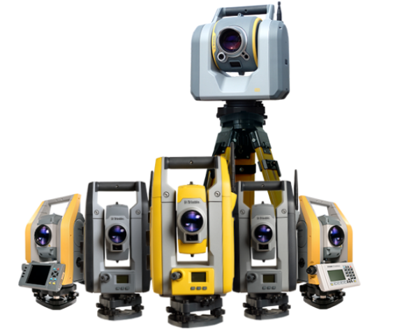
We provide you with total stations for modern surveying, building construction, and mining projects for data collection straight to your computer for different features and records. Surveyors and engineers are provided with high tech total stations for all your needs.
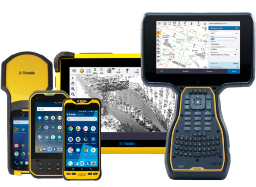
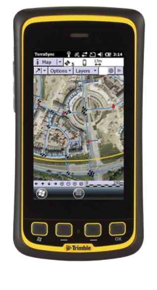
GIC delivers GPS Receivers to collect all your GPS data and information for surveyors, engineers or internal use to accurately calculate geographical locations. Field workers can employ these to make data collection faster and easier as they are state-of-the-art technology.
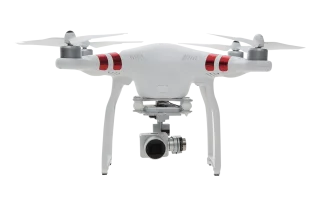
We provide UAS air vehicles and associated equipment with remote piloting for your monitoring and accessing purposes in remote locations. GIC will provide you with these devices to meet all your needs together with training and maintenance services.
Complete your surveying setup with our comprehensive range of accessories including tripods, prisms, poles, batteries, chargers, and carrying cases. All accessories are designed to work seamlessly with our hardware products for optimal performance.