
Remote Sensing Training
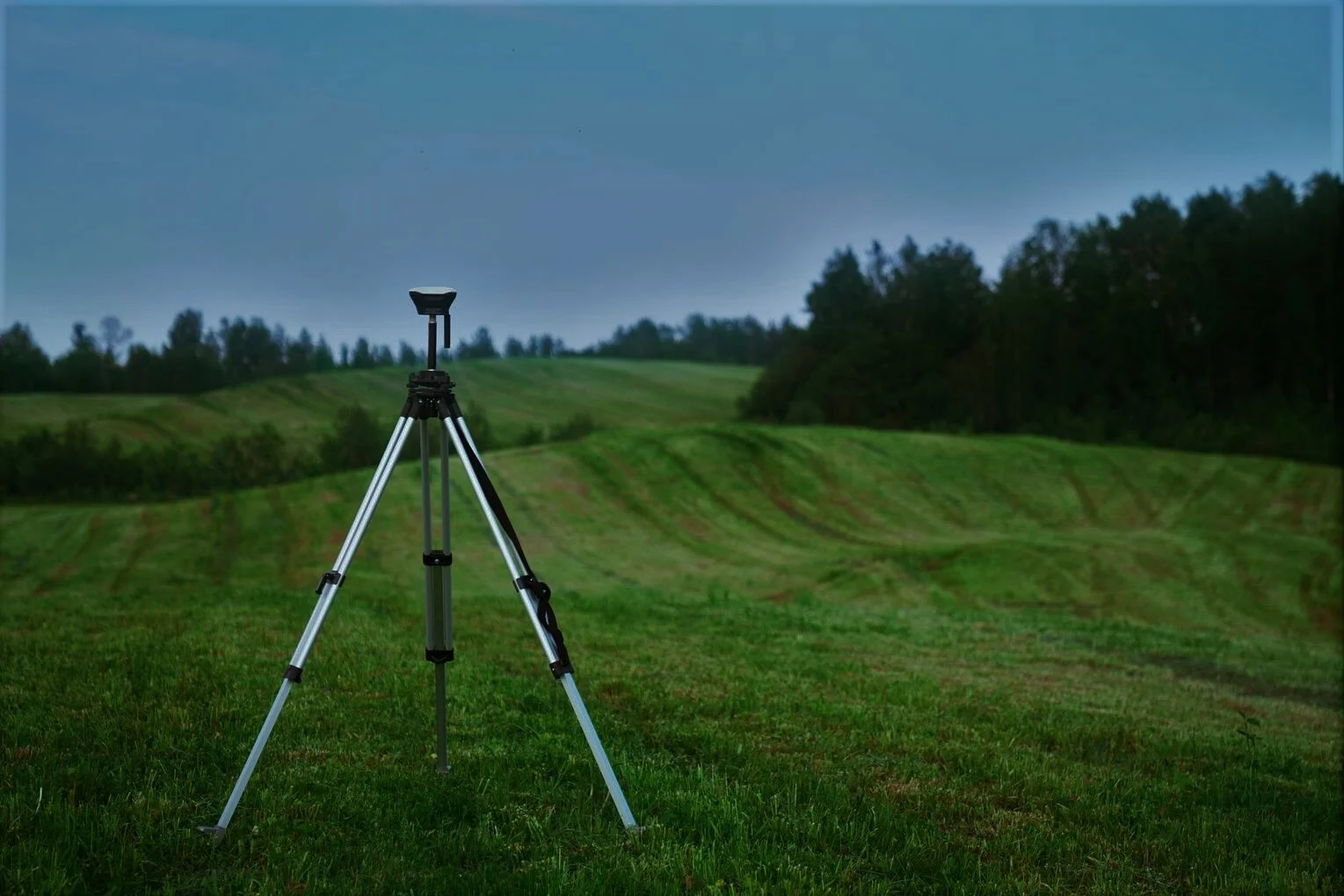
These courses introduce the principles of remote sensing for earth observation, remote sensing platforms and sensors, data acquisition, storage and processing. These are designed to give you a comprehensive understanding on the application of remote sensing and GIS in solving the research problems. By the end of the courses, you should be able to use remote sensing (Satellite images and Field data) and GIS in their future research work. Remote sensing is used in numerous fields, including geography, land surveying and most Earth science disciplines for multiple purposes like military, intelligence, commercial, economic, planning, and humanitarian applications, among others.
Training
Introduction to Remote Sensing (1 Days)
Surface modelling (2 Days)
Image classification methods (2 Days)
Hydrological modeling (Watershed delineation) (2 Days)
Vegetation Analysis (2 Days)
REGISTER